- ¡Su cesta está vacía!
0
BIENVENIDOS A GPS EN MEXICO
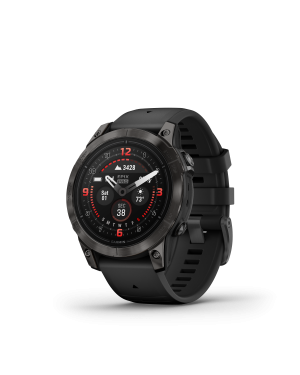
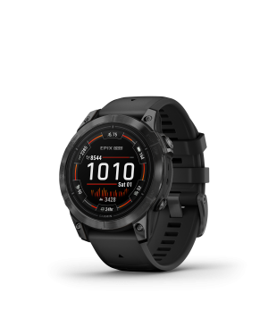
GPSMAP 86sci


GPSMAP 86sci
$14,999.00
It’s water-resistant, and it floats, so it’s as at home on the water as you.
See all your marine system info at a glance with boat data streaming.
Cruise with peace of mind. inReach interactive SOS is there if you need it2.
Send and receive custom and preset text messages from anywhere2.
Get the best of Garmin and Navionics® data with preloaded BlueChart g3 coastal charts.
Stay out longer with up to 35 hours of battery life with 10-minute tracking.
BOAT DATA
Sync with compatible Garmin chartplotters and instruments to see real-time boat data displayed right on your handheld.
FUSION-LINK AUDIO
Get convenient remote operation of select onboard Fusion marine products.
ACCURATE TRACKING
When you’re underway, an adjustable GPS filter smooths speed and heading indications as you pass over swells for more accurate tracking.
BLUECHART COVERAGE
Preloaded BlueChart g3 coastal charts give you leading-edge coverage, clarity and detail with integrated Garmin and Navionics data.
AUTOPILOT REMOTE
Even when you’re not at the helm, you can control your boat. Access the autopilot app to change heading, engage pattern steering and follow a GPS route.
BACKUP NAVIGATION
Whether you’re out for a day of fishing, sailing or cruising, gain peace of mind that comes from having a backup navigator.
ABC SENSORS
Navigate anywhere with ABC sensors, including an altimeter for elevation data, barometer to monitor weather and 3-axis electronic compass.
TWO-WAY MESSAGING
The Iridium® satellite network1 lets you send and receive custom and preset text messages or emails with a delivery confirmation2.
TRIP TRACKING
Share your adventures with your web-based MapShare™ trip-sharing page so loved ones can see your progress or ping your device to see your GPS location2.
INTERACTIVE SOS
In case of emergency, trigger an interactive SOS message to get emergency help from a 24/7 global monitoring center via the 100% global Iridium satellite network2.
MARINE WEATHER
Receive weather forecasts directly on your device, so you can make educated decisions based on local conditions or the destination ahead2.
SMART NOTIFICATIONS
Get smart notifications right on your GPSMAP 86sci handheld when you pair it with your compatible smartphone.
GARMIN EXPLORE™ APP
Sync GPSMAP 86sci with Garmin Explore for cloud management of your favorite waypoints, tracks and routes.
WIRELESS CONNECTIONS
GPSMAP 86sci offers Wi-Fi® connectivity, ANT+® technology and BLUETOOTH® wireless technology for easy wireless updates and connections. .
LED FLASHLIGHT
The GPSMAP 86sci helps you keep gear to a minimum with a built-in LED flashlight that can be used as a beacon to signal for help.
BATTERY LIFE
The internal, rechargeable lithium battery provides up to 40 hours of battery life in standard mode and up to 200 hours in expedition mode3.
Características físicas y de rendimiento | |
| DIMENSIONES FÍSICAS | WxHxD: 2.75" x 7" x 1.7" (7 x 17.8 x 4.4 cm) |
|---|---|
| TAMAÑO DE LA PANTALLA (ANCHURA X ALTURA) | 1.5"W x 2.5"H (3.8 x 6.3 cm); 3" diag (7.6 cm) |
| RESOLUCIÓN DE LA PANTALLA (ANCHURA POR ALTURA) | 240 x 400 pixels |
| TIPO DE PANTALLA | transflective, 65K color TFT |
| PESO | 9.59 oz (272 g) |
| BATERÍA | rechargeable internal lithium ion |
| AUTONOMÍA DE LA BATERÍA | Up to 35 hours in 10-minute tracking mode; up to 200 hours (expedition mode) |
| CLASIFICACIÓN DE RESISTENCIA AL AGUA | IPX7 |
| RECEPTOR DE ALTA SENSIBILIDAD | |
| MEMORIA/HISTORIAL | 16 GB |
Mapas y memoria | |
| MAPAS PREINSTALADOS | yes |
|---|---|
| POSIBILIDAD DE AGREGAR MAPAS | Si |
| MAPA BASE | Si |
| CREACIÓN AUTOMÁTICA DE RUTAS (GIRO A GIRO EN CARRETERA) | Sí (con mapas opcionales con información detallada de las carreteras) |
| ALMACENAMIENTO Y CAPACIDAD DE CARGA | microSD™ card (not included) |
| WAYPOINTS | 10000 |
| TRACK LOG | 20,000 points, 250 saved gpx tracks, 300 saved fit activities |
| RUTAS | 250 |
Sensores | |
| ALTÍMETRO BAROMÉTRICO | Si |
|---|---|
| BRÚJULA | Sí (tres ejes con inclinación compensada) |
Funciones para actividades de ocio y al aire libre | |
| CÁLCULO DE ÁREAS | Si |
|---|---|
| CALENDARIO DE CAZA Y PESCA | Si |
| INFORMACIÓN ASTRONÓMICA | Si |
| MODO GEOCACHING | Sí (paperless) |
| COMPATIBLE CON LOS MAPAS PERSONALIZADOS | Si |
| VISOR DE IMÁGENES | Si |
inReach® Features | |
| SOS INTERACTIVO | Si |
|---|---|
| ENVÍO Y RECEPCIÓN DE MENSAJES DE TEXTO A SMS Y CORREO ELECTRÓNICO | Si |
| ENVÍO Y RECEPCIÓN DE MENSAJES DE TEXTO A OTRO DISPOSITIVO INREACH | Si |
| INTERCAMBIO DE UBICACIONES CON OTRO DISPOSITIVO INREACH | Si |
| MAPSHARE COMPATIBLE CON EL SEGUIMIENTO | Si |
| TECLADO VIRTUAL PARA MENSAJERÍA PERSONALIZADA | Si |
| COMPATIBLE CON INREACH® | |
DISTRIBUIDORES
Mayoristas de Garmin.
ASESORÍA Y SOPORTE
100% personalizado.
ENVÍOS
a toda la republica.